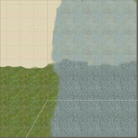
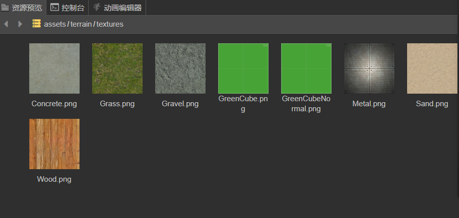
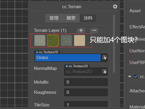
将坐标换算成weightmap的索引取得weight, 然后根据根据坐标获得地形块,取得地形块的layer索引,然后根据layer索引获得layer信息。
这是地形画刷的逻辑,可以参考下
private _updateWeight(terrain: Terrain, dtime: number) {
    const uWeigthComplexity = terrain.info.weightMapSize * terrain.info.blockCount[0];

    const vWeigthComplexity = terrain.info.weightMapSize * terrain.info.blockCount[1];

    if (uWeigthComplexity === 0 || vWeigthComplexity === 0) {

        return;

    }

    const brush = this._currentBrush;

    let x1 = brush.position.x - brush.radius;

    let y1 = brush.position.z - brush.radius;

    let x2 = brush.position.x + brush.radius;

    let y2 = brush.position.z + brush.radius;

    x1 /= terrain.info.size.width;

    y1 /= terrain.info.size.height;

    x2 /= terrain.info.size.width;

    y2 /= terrain.info.size.height;

    x1 *= uWeigthComplexity - 1;

    y1 *= vWeigthComplexity - 1;

    x2 *= uWeigthComplexity - 1;

    y2 *= vWeigthComplexity - 1;

    x1 = Math.floor(x1);

    y1 = Math.floor(y1);

    x2 = Math.floor(x2);

    y2 = Math.floor(y2);

    if (x1 > uWeigthComplexity - 1 || x2 < 0) {

        return;

    }

    if (y1 > vWeigthComplexity - 1 || y2 < 0) {

        return;

    }

    x1 = clamp(x1, 0, uWeigthComplexity - 1);

    y1 = clamp(y1, 0, vWeigthComplexity - 1);

    x2 = clamp(x2, 0, uWeigthComplexity - 1);

    y2 = clamp(y2, 0, vWeigthComplexity - 1);

    const op: TerrainWeightOperation = new TerrainWeightOperation(terrain);

    this._undo && this._undo.redoOperations.push(op);

    for (let y = y1; y <= y2; ++y) {

        for (let x = x1; x <= x2; ++x) {

            const w = terrain.getWeight(x, y);

            const bx = Math.floor(x / terrain.info.weightMapSize);

            const by = Math.floor(y / terrain.info.weightMapSize);

            const block = terrain.getBlock(bx, by);

            const layers = [block.getLayer(0), block.getLayer(1), block.getLayer(2), block.getLayer(3)];

            const xpos = (x / (uWeigthComplexity - 1)) * terrain.info.size.width;

            const ypos = (y / (vWeigthComplexity - 1)) * terrain.info.size.height;

            const delta = brush.getDelta(xpos, ypos) * dtime;

            if (delta === 0) {

                continue;

            }

            if (layers[0] === this._currentLayer) {

                w.x += delta;

            } else if (layers[1] === this._currentLayer) {

                w.y += delta;

            } else if (layers[2] === this._currentLayer) {

                w.z += delta;

            } else if (layers[3] === this._currentLayer) {

                w.w += delta;

            } else {

                if (layers[0] === -1) {

                    block.setLayer(0, this._currentLayer);

                    w.x += delta;

                } else if (layers[1] === -1) {

                    block.setLayer(1, this._currentLayer);

                    w.y += delta;

                } else if (layers[2] === -1) {

                    block.setLayer(2, this._currentLayer);

                    w.z += delta;

                } else if (layers[3] === -1) {

                    block.setLayer(3, this._currentLayer);

                    w.w += delta;

                } else {

                    continue;

                }

            }

            const sum = w.x + w.y + w.z + w.w;

            if (sum > 0) {

                w.multiplyScalar(1.0 / sum);

            }

            if (this._undo != null) {

                this._undo.push(x, y, terrain.getWeight(x, y));

                this._undo.pushBlock(block, layers, block.layers);

            }

            op.push(x, y, w);

        }

    }

    op.apply();

}